Come with us on our photographic adventure. We take you along as we explore iconic and natural wonders, from above and up close. Thanks for joining us!
From Sweeping to Macro
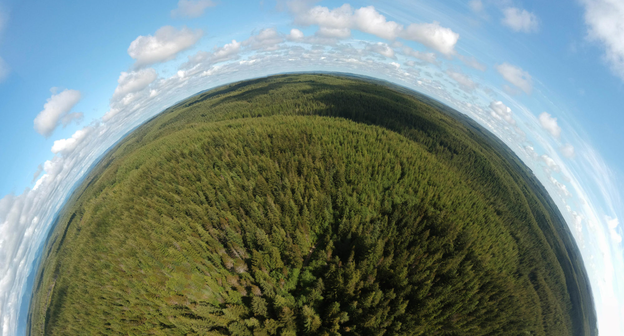
With tiny planet visualizations, detailed panoramas, and tight and crisp subject shots, get immersed with broad views and striking details.
Explore
Compass Rose
Comapss Rose – Aberdeen, Washington


Montana


